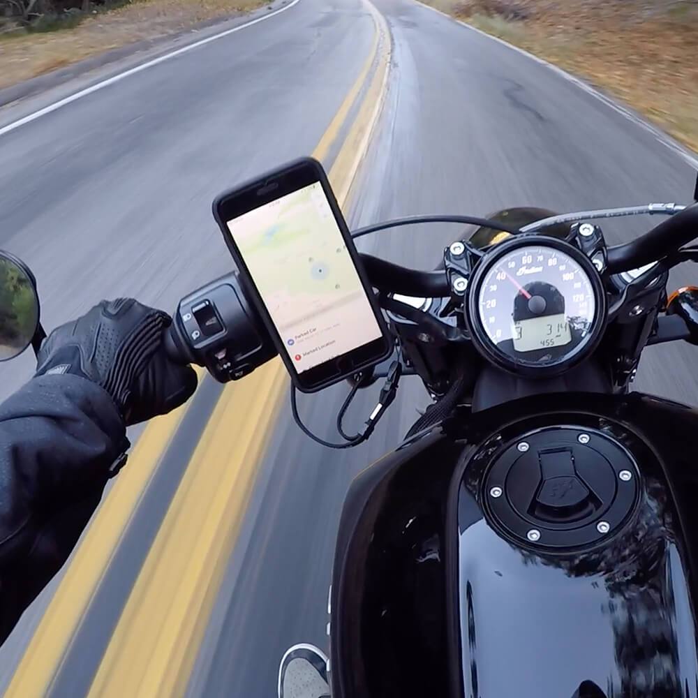


Now so many people are getting back outside to enjoy the fresh air on their bikes, more folks are venturing out into wild areas that lack cell phone service. The trouble is, many paths and trails in farther-flung areas have confusing signs, are poorly marked, and sometimes not marked at all, requiring a GPS map on your phone to navigate.
But if you don’t have cell service, how can you navigate trail maps with your phone? Thankfully, smartphones still work with GPS even when there’s no cell phone signal. All you need is a map to be pre-downloaded into a trail navigation app. There are only a few apps available for iPhone or Android that can guide you with downloaded maps, but they’re (mostly) high-quality, feature-rich, and a relative steal when you consider the cost of paper trail maps. Let’s explore each app to discover which one fits best with your riding needs.
AllTrails
If you’re only looking for very basic information about some local trails and bike routes but aren’t as concerned about finding world-class mountain bike riding, AllTrails might be an option for you.
While you are able to download maps, many of the mountain biking trails in popular areas aren’t on them. Most of the trails found on these maps show bike paths and routes for road bikes in town (where there is cell service), which isn’t all that useful of a feature.
Some areas may have more widely available information for biking, but this app is definitely not the top pick for planning a mountain biking road trip.
The biggest downside to this app is that you have to pay for the ability to download the maps, but at least it’s a modest price if you find that feature worth it.
Pricing
Annual Plan - 1st year $23.99
Three-Year Plan - $59.99
Trailforks
Are you someone who loves planning every aspect of your bike ride in advance? The gold-standard app for planning bike rides where you won’t have cell service is Trailforks.
This app provides details for the pickiest of riders, and you can download maps before your ride.
The information provided for each trail on Trailforks is impressive:
Okay, so what’s the catch? The free version only provides you with a “city-sized” map area, which often isn’t even large enough to fit all the major trail systems of a city. From one side of the map to the other, there’s only about an hour of driving, so if you are planning rides for new trails you’ve never ridden on the other side of the city, you’ll probably need to upgrade to the paid version of the app.
However, it’s possible to view the app in a mobile browser to research trail info anywhere if you have service. You just won’t be able to track your ride via the mobile web version of the app.
All said, the paid version is only $36 a year, which is a bargain considering the amount of intel you can get before heading to a new trail that could otherwise be a dud.
Pricing
City-Size Map Access - Free
National map access - $35.99 per year
MTB Project
For riders on a budget who are more experienced or less concerned about the minutiae of planning rides and prefer just to figure things out as you go along, the totally free MTB Project app is a solid alternative to the paid version of Trailforks.
Let’s be honest––there isn’t anywhere close to the level of detail about trails and routes on the MTB Project app as there is on the Trailforks app. This definitely makes exploring new trails in not as well-frequented areas a bigger gamble, but you should be mostly well-informed by the MTB Project app if you are riding well-traveled routes. The majority of intel you’ll miss compared with the Trailforks app includes articles, videos, and social content that offers more context about the trails and routes than MTB Project does.
All things considered, there’s really no reason not to just download the MTB Project app because, hey, it’s free and a strong backup if Trailforks doesn’t have your trail listed.
Here are some of the features of the MTB Project app:
The MTB Project app is best for riders who want to quickly plan mountain biking trips anywhere in the country for free, knowing there may be times you’ll have to bail and roll to an alternative trail if your ride doesn’t pan out as you hoped. The user interface is intuitive and straightforward, and you can track your rides, but there aren’t any leaderboard features or tracking of Strava segment PR’s, making this app great for the more casual rider with time to spare.
Pricing
100% Free
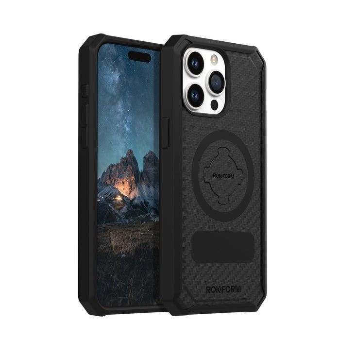
We hope this quick guide to the best bike apps for navigating without cell service has been helpful. Being fully prepared with downloaded maps for your next adventure brings peace of mind and endless opportunities to check out new places you may have never otherwise discovered. On your next excursion, keep your phone safe from drops in a Rokform Rugged Case when taking pictures, and be sure to tag us on Instagram! We enjoy seeing the places our phone cases keep your phone protected and visible for navigating.