
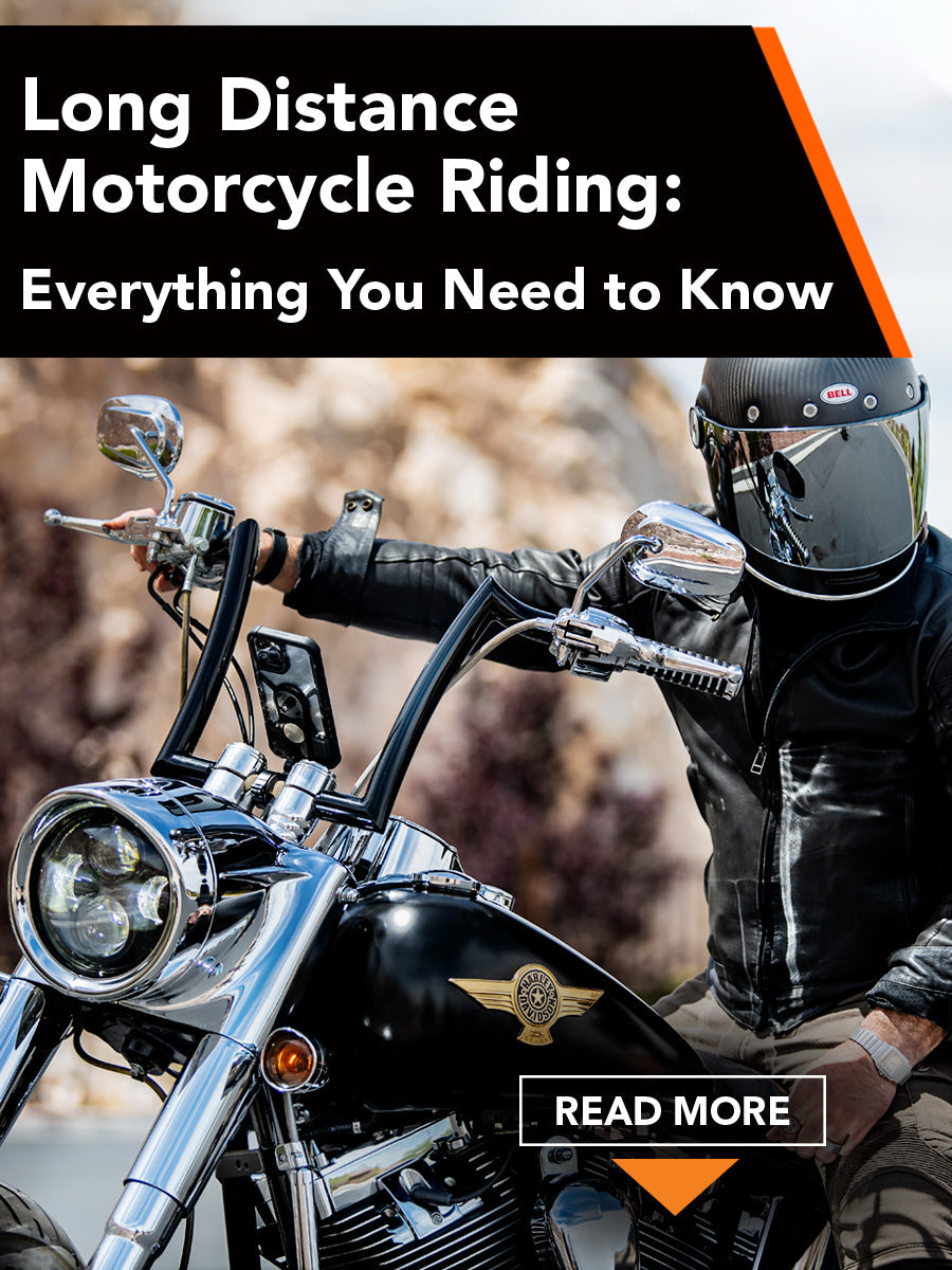
Itching to hit the open road? Long-distance motorcycle riding is your ticket to adventure but it’s not for the faint of heart. Thrill-seekers and radical riders looking to explore exciting new routes will love motorcycle touring. That said, long-distance trips can test even the most experienced riders, so preparation is key to a successful tour.
At ROKFORM, we are experts in manufacturing rugged and heavy-duty accessories to keep your smartphone securely attached to your motorcycle, even in the roughest of road conditions. From protective phone cases to a sturdy motorcycle phone mount, ROKFORM products protect devices while you’re busy churning out serious mileage.
Tips for Long Distance Motorcycle Riding
Choosing the right gear for your big trip is just as important as personal fitness and pre-tour prep. Whether you’re planning an extended weekend or a months-long journey, we’ve compiled a list of the top tips to ensure your next tour goes as smoothly as possible.
1. Planning the Route
First things first— where in the world are you going? Planning the route is one of the most creative parts of the process and the easiest way to build excitement leading up to the long-distance ride.
Get out your maps or hop online to discover popular routes that other motorcyclists have taken and look for interesting landmarks or stops along the way. And if you have to choose between two possible routes, we always recommend the most scenic route — it’ll be worth it!

Be patient and consider everything you’ll encounter on your chosen route, including weather conditions, gas stations, food stops, and more. This will also help you figure out the necessary gear for the long distance motorcycle ride, too. Consider having meals at off-peak times during the day so you can refuel without waiting in lines.
2. Keeping Maps Handy
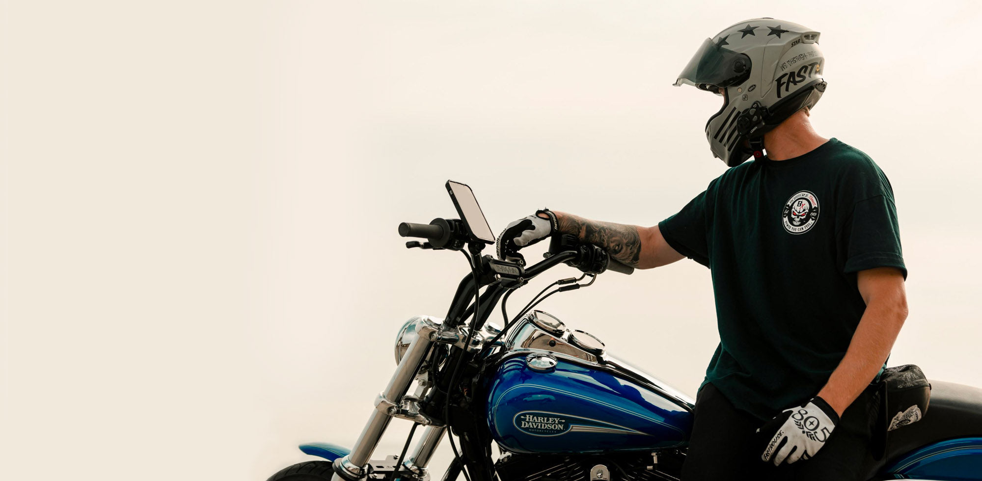
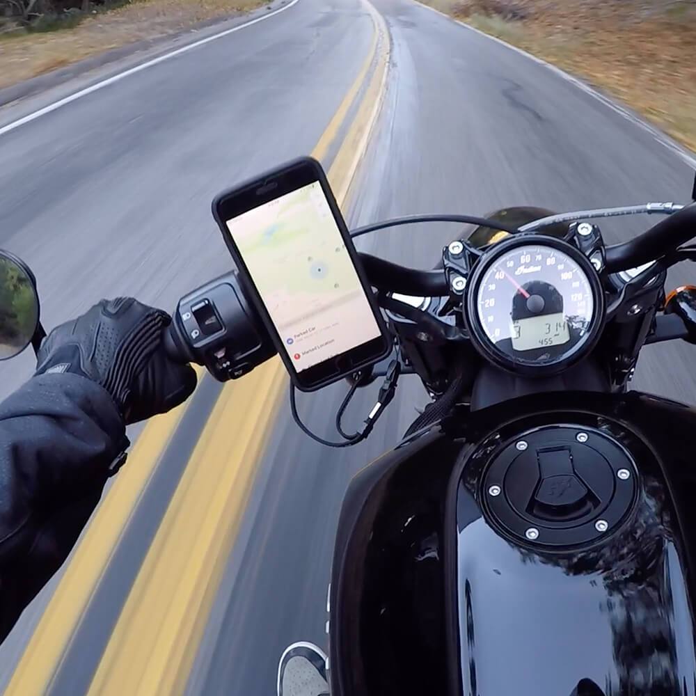
The most reliable way to follow your planned route while out on the road is to use your phone as a GPS. Today’s apps and phone maps are often better-designed than traditional GPS units and riders can access calls and music all on the same device, too.
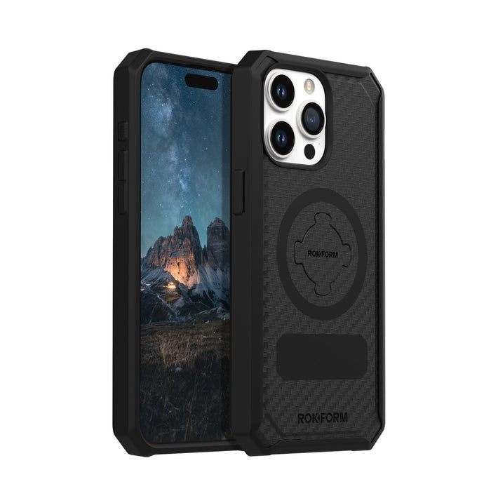
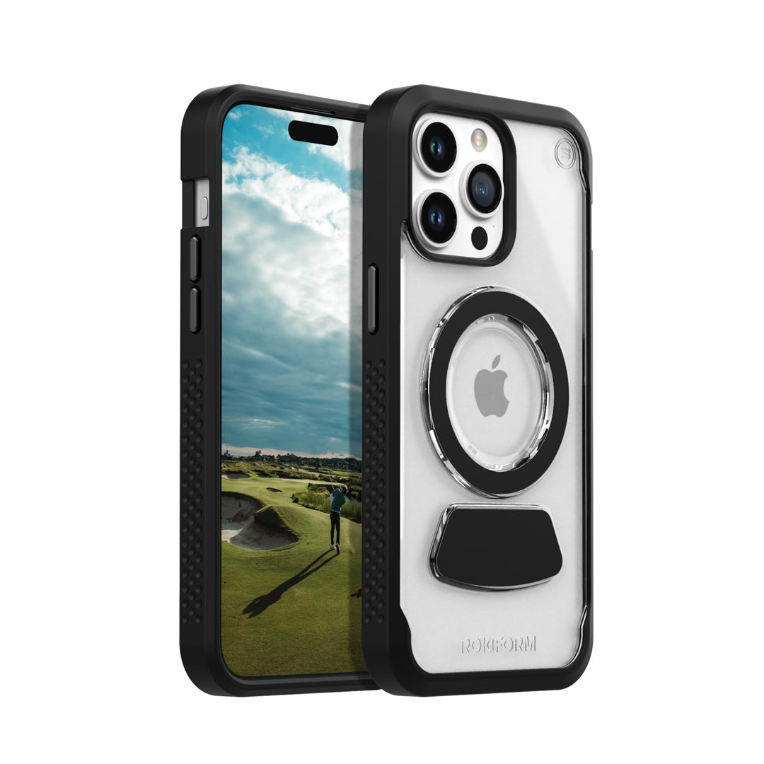
To protect your phone from road vibrations or accidental drops, use a heavy-duty ROKFORM case for any iPhone or Samsung model. Our cases are built with durable materials and reinforced corners that absorb impacts and shocks 4x better than other cases.

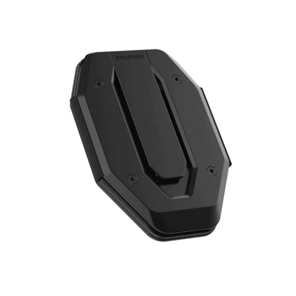
ROKFORM also offers four types of Motorcycle Mounts so riders can secure their smartphones to the handlebars or cockpit area. The motorcycle-specific mounts are built from aircraft-grade aluminum and allow for a wide range of motion to position your phone perfectly in view. Once you’ve decided your route, having your phone securely mounted at arm’s length comes in handy when plans inevitably change.
3. Improve Riding Fitness
Long-distance motorcycle riding is an activity that’s both physically and mentally strenuous, so you’ll need to build up your stamina before you set off. If you’re not used to sitting in the saddle for hours on end, gradually increase the length of your rides until they match the mileage you expect while on tour. This way, you can fine-tune your setup for long journeys and train your muscles to handle a large number of miles in a single day.

Riding a motorcycle day after day can be hard on the body and requires a good level of fitness. Getting in shape before your trip will prepare you for long hours of uninterrupted riding, steering, and concentrating on the road. Hitting the gym will pay big dividends once you’re on a road trip, allowing you to stay energized during grueling rides and keep your mind fresh.
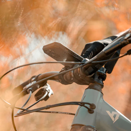
Developing endurance and cardiovascular fitness isn’t a walk in the park, but this preparation can be a fun part of the pre-tour process. ROKFORM offers rugged accessories that complement an active lifestyle, including products designed specifically for cycling and golf.
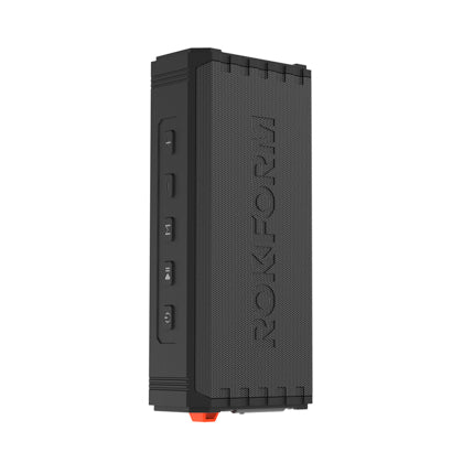
ROKFORM phone cases are compatible with various mounts for cars, bikes, and golf carts, including a motorcycle phone mount, making it easy to take your phone with you when you switch sports. For golf lovers, ROKFORM has the custom Eagle 3 phone case and G-ROK wireless speaker to ensure your performance on the green is at its best.
4.Carrying the Right Gear
The high mileage of motorcycling touring that means having the appropriate gear on hand is even more important than usual. Missing a piece of gear or being underprepared can cause delays in your trip. We recommend conducting a dry run of all the gear loaded up before you embark on your journey.
Other important items to carry on a long-distance motorcycle trip include a tool kit, sleeping bag, first aid kit, and tank bag for essentials that can be accessed more easily. To complement your helmet, always wear adequate protective gear that will keep you safe and visible while out on the open roads.

Space is at a premium on a motorcycle so every square inch counts so make sure everything fits. Long distance riders can upgrade their bike’s cockpit with one of the ROKFORM motorcycle mounts that fit neatly on the handlebars to save space. For Harley Davidson motorcycles, Metric and Indian Cruisers, choose between the Handlebar Motorcycle Phone Mount and the Pro Series Motorcycle Perch Mount.
For use with 1” RAM® Socket Mounts, ROKFORM offers the Universal Ball Adapter Phone Mount. Each unique design is customized to the bike’s specific handlebar and uses aircraft-grade aluminum for ultimate strength and durability.
Learn about all the benefits of ROKFORM motorcycle mounts and see them in action here!
Rokform Motorcycle Mounts | Rokform.com
5. Type of Motorcycles
The type of motorcycle you choose can make or break your long-distance trip. The best motorcycle for extended trips depends on the terrain and cargo, but most riders opt for some version of a touring motorcycle. This design features an upright, relaxed seating position, larger engines, and plenty of storage space.

In contrast, sport bikes are built for outright speed and have a less comfortable seat and fewer storage options. For these bikes, the ROKFORM Pro Series Motorcycle Stem Mount is specially designed for sport bikes and bikes with clip-on bars. The sleek mount screws directly into most sportbike center stems from 12mm - 24mm for a secure connection and stealthy look.
6. Safety and Mechanical Checks
Mechanical checks are in order because riders need to have full confidence in their machine while touring. Now’s the time to fix that pesky engine problem, install new tires, or even give the motorcycle a deep pre-tour clean.
If you’re expecting to ride off-road during your upcoming tour, a dual-sport motorcycle or adventure bike can offer better handling in the rough sections. Trail-tough features like knobby tires, spoked wheels, and longer suspension can make a big difference when riding off-piste.

To handle the increased vibrations, ROKFORM offers the Motorcycle Mount Vibration Dampener to reduce the forces acting on your smartphone. The additional stabilization makes it easier to see your phone’s screen and protects its internal components. The handy accessory installs quickly on ROKFORM RokLock cases and Motorcycle Mounts.

“Just got back from a 2500 mile road trip and the Vibration Dampener worked flawlessly. Excellent product.” — Bill B.
7. The Importance of Breaks
Long stretches in the saddle are a natural part of motorcycle touring but don’t hesitate to take breaks to refuel yourself and your bike. Well-timed rest stops are the key to maintaining momentum on those extended transport days that could have otherwise turned into just a grueling ride. If you're riding in a remote area, be sure to plan ahead for gas stations and fuel stops ahead of time when restocking supplies.
Experienced motorcyclists know to start each day in the early mornings to take advantage of the lighter traffic and maximize the daylight hours. Such early risings can be a rude awakening but are well worth it to stay on schedule and enjoy a relaxed rest of the day.

Make it a priority to get a good night’s sleep so you can hit the road fresh and alert. If you become fatigued throughout the day, take a short nap break instead of pushing through long periods of tiredness which can be dangerous. When fueling up, it’s important to fuel up your body, too. Have a snack and a hit of caffeine, and always stay hydrated!
Frequently Asked Questions
What kind of helmet is best for long-distance riding?
A full-face helmet offers the most protection and its wrap-around padding has noise-canceling properties. Motorcycles are loud and touring means you’re listening to the engine for hours on end— a full-face helmet cuts down on road noise, the sound of the wind, and protects your hearing. It’ll keep your head and neck dry in wet weather conditions, too!
Which phone mount works with a Harley Davidson motorcycle?
The ROKFORM Pro Series Motorcycle Bar Mount and Pro Series Motorcycle Perch Mount are compatible with Harley Davidson, Metric, and Indian cruisers. The bar mount clamps onto any bike’s handlebars between ⅞” to 1-¼” while the perch mount screws directly into the motorcycle’s hardware.
How can I securely mount my phone to my motorcycle?
Motorcycle riders use ROKFORM cases and mounts to ensure their phone stays put, even over rough roads. ROKFORM products utilize the patented RokLock twist retention system and powerful magnets for a strong connection. All mounts include a heavy-duty detachable lanyard for added security.
ROKFORM: Reliable Motorcycle Accessories
ROKFORM phone cases and mounts are the preferred products among riders for long distance motorcycle riding. The heavy-duty construction and secure mounting hardware ensure that your device stays right where you need it while you ride.
Have questions about our products or which mount is right for your motorcycle? We are available for online chat or in-person at our Irvine, California showroom. Call us toll-free at 855-765-3676, or email us at info@rokform.com, or visit us at www.rokform.com